About the Viewers
The Polar Geospatial Center's Imagery Viewers are web-based mapping applications for viewing high-resolution, commercial satellite imagery mosaics for polar regions. The three versions (Antarctica, the Arctic, and the World) are each in an appropriate map projection.
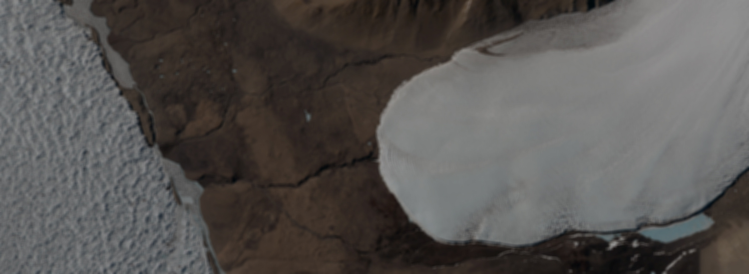
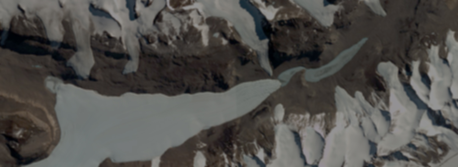
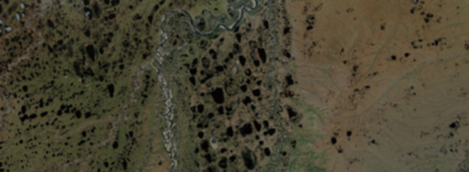
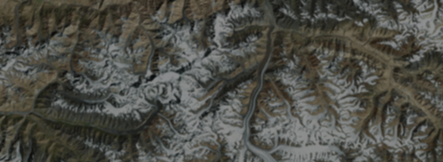
The PGC imagery mosaics are composed of hundreds of terabytes of orthorectified satellite imagery from the WorldView-1, WorldView-2, QuickBird-2, and GeoEye-1 sensors and mosaicked into one layer at 50-centimeter resolution. The Viewers also contain other layers — for example, lower-resolution satellite imagery basemaps, features & placenames, and aerial photography — which help users search and navigate the maps.
All imagery is © Maxar, Inc. By using the viewers you are subject to the National Reconnaissance Office (NRO) Electro-Optical Commercial Layer License (EOCL) and to the PGC Viewers Terms & Conditions. For attribution and citation, please see the PGC Acknowledgement Policy.
The viewers are built using JavaScript, so no plugins are required for your browser. The PGC will continue to add & improve imagery to the mosaics as we obtain it, but we understand there may be features or imagery you'd like to see added. Send us an email to ask a question or suggest a feature.
Account Management
Access to the secured & licensed layers in the Viewers is limited to polar federally-funded researchers with current awards, federal employees, or subcontractors. Funding sources include, but aren't limited to, the National Science Foundation (NSF). Members of the DoD/IC and Antarctic/Arctic support personnel may also request access.
The links below are for new users to request a new account or change your password. The PGC will verify your funding source after you submit a request for an account.
Request A New Account
Manage Existing Account
Send Us A Question
PGC Viewers Terms & Conditions